Fixe Messstationen
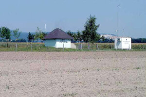
Kittsee
Kategorie: rural - Ländliche Messstelle mit städtischen Einfluss
Brunnenfeld Nord
Seehöhe: 138 m
Position(WGS84): N 48,1091532° E 17,0703159°
Messung: PM10, PM2.5, PM1, O3, NO, NO2, NOx, SO2, T, rF, WG, WR, STRG, STRB, Luftdruck
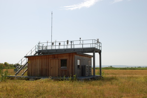
Illmitz (Umweltbundesamt)
Kategorie: rural - Ländliche Hintergrundmessstelle
Biologische Station Illmitz
Seehöhe: 117 m
Position(WGS84): N 47,7697239° E 16,7658504°
Messung: PM10, PM2,5, B(a)p, O3, NO, NO2, NOx, SO2, CO, BTX, T, rF, WG, WR, Nasse Deposition, Partikuläres Sulfat, Nitrat, Ammonium, Salpetersäure, Ammoniak

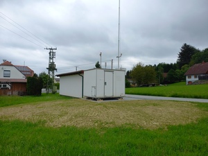
Eisenstadt
Kategorie: städtische Messstelle
Laschoberstraße
Seehöhe: 165 m
Position(WGS84): N 47,8401107° E 16,5261944°
Messung: PM10, PM2.5, PM1, O3, NO, NO2, NOx, SO2, CO, T, rF, WG, WR, STRG, Luftdruck
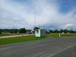
Oberwart
Kategorie: traffic - Verkehrsnahe Messstelle
Umfahrung B63a, Kreisverkehr Unterwarterstraße
Seehöhe: 308 m
Position(WGS84): N 47,2785532° E 16,2205136°
Messung: PM10, PM2.5, PM1 B(a)p, O3, NO, NO2, NOx, T, rF, WG, WR, STRG, Luftdruck
Rohr im Burgenland
Kategorie: rural - Ländliche Messstelle
Florianiweg
Seehöhe: 250m
Position (WGS84): N 47.117931° E 16.162941°
Messung: PM10,O3, NO, NO2, NOx, SO2, CO, T, rF, WG, WR
Mobile Messstationen
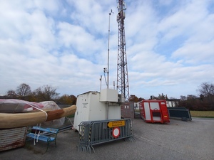
Rudersdorf
(seit 15.04.2024)
Position (WGS84): N 47.043847° E 16.124398°
Messung: PM10, PM2.5, PM1, O3, NO, NO2, NOx, SO2, CO, T, rF, WG, WR, STRG
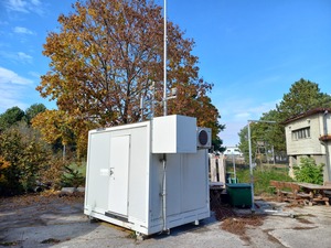
Rust am See
(seit 05.06.2024)
Position (WGS84): N 47.806686° E 16.677254°
Messung: PM10, PM2.5, PM1, O3, NO, NO2, NOx, T, rF, WG, WR, Luftdruck, STRG